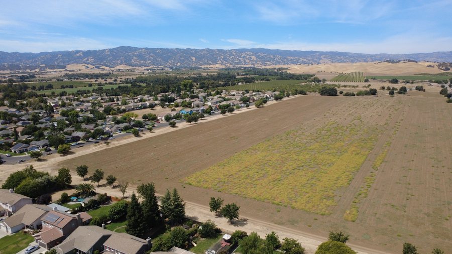
 Agriculture
Vineyards & Orchards
Row coverage, canopy views, and season-over-season progress for the growers who work this valley.
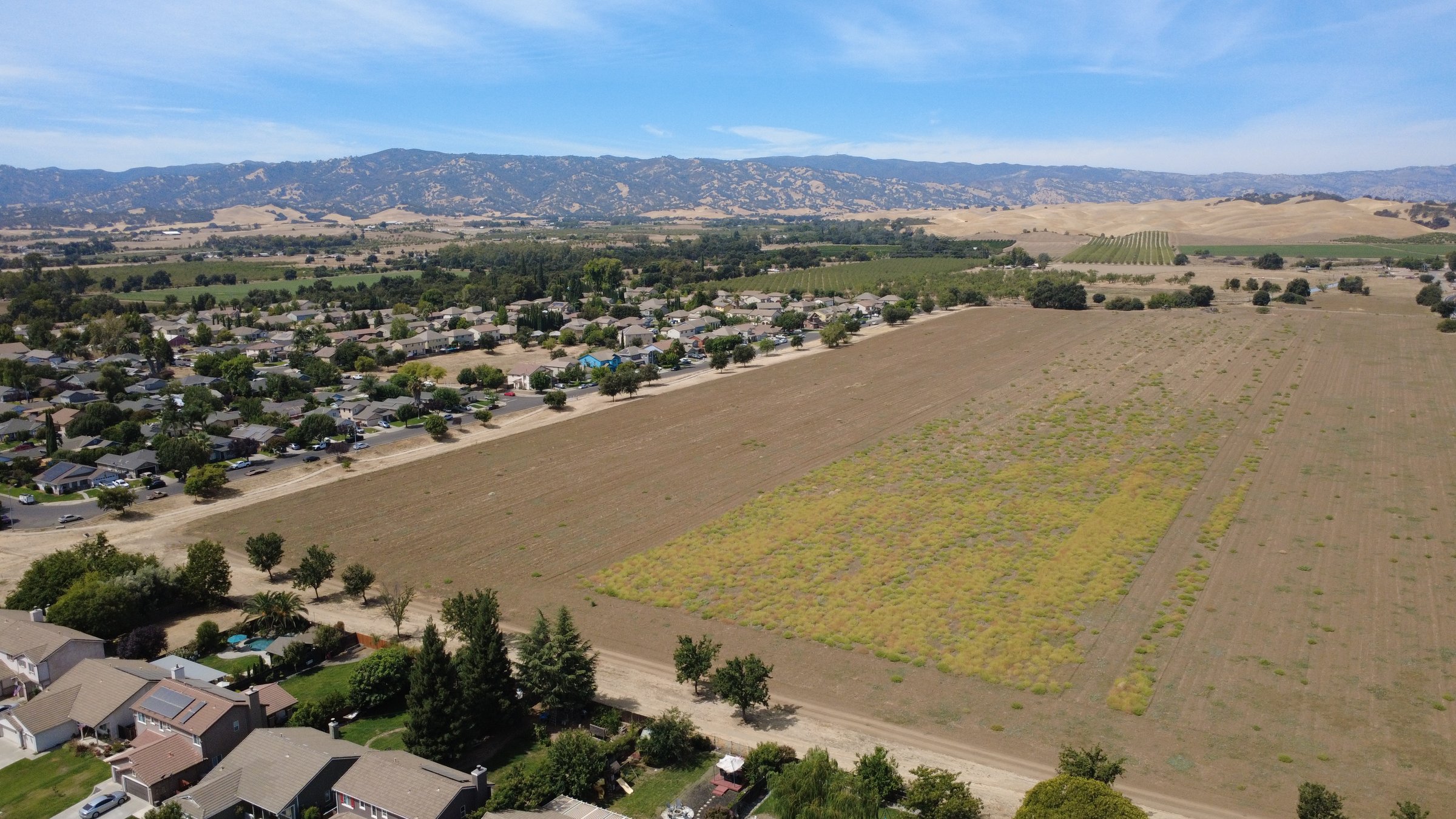
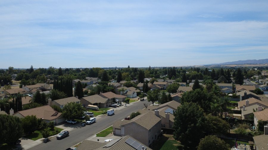
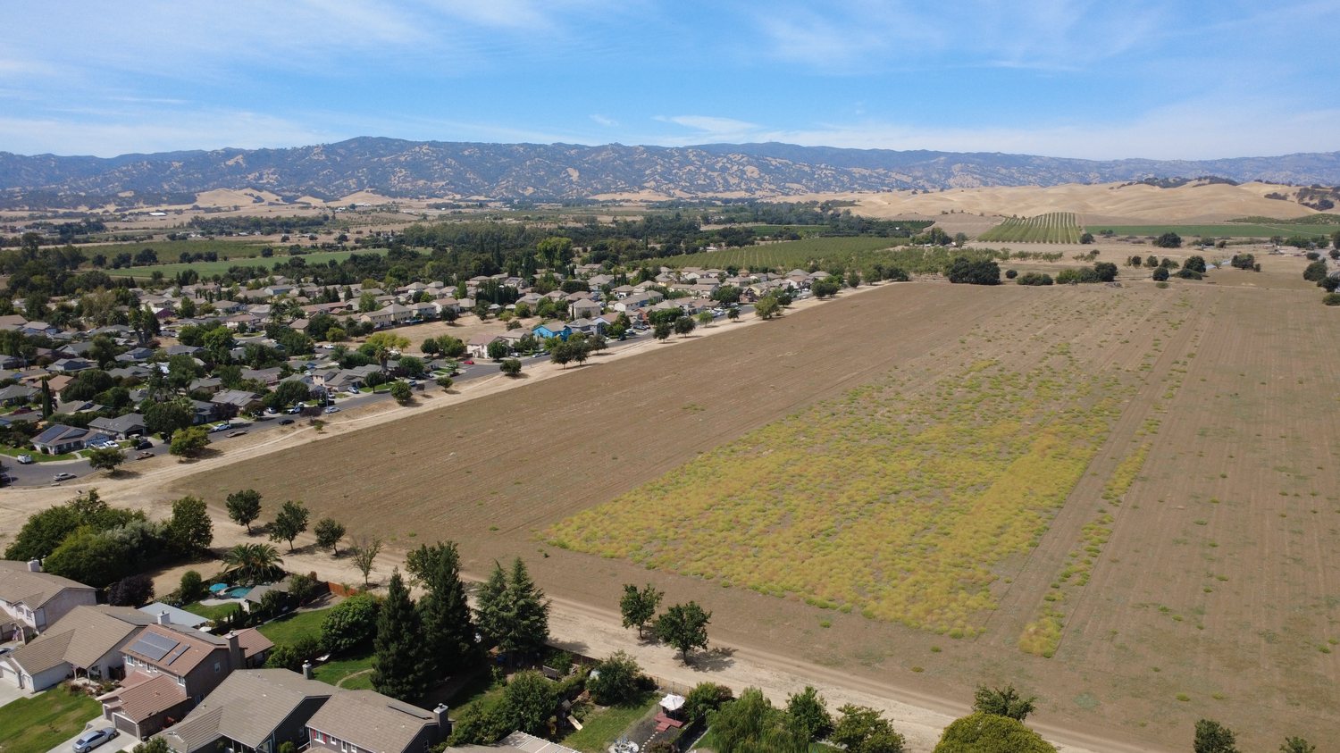
The whole valley, seen from above — vineyards, farms, and property, flown by someone who knows the ground.
Licensed drone work for the vineyards, farms, and properties of the Capay Valley and greater Yolo County — sharp overhead imagery of the ground you work, own, or want to sell.
AgricultureRow coverage, canopy views, and season-over-season progress for the growers who work this valley.
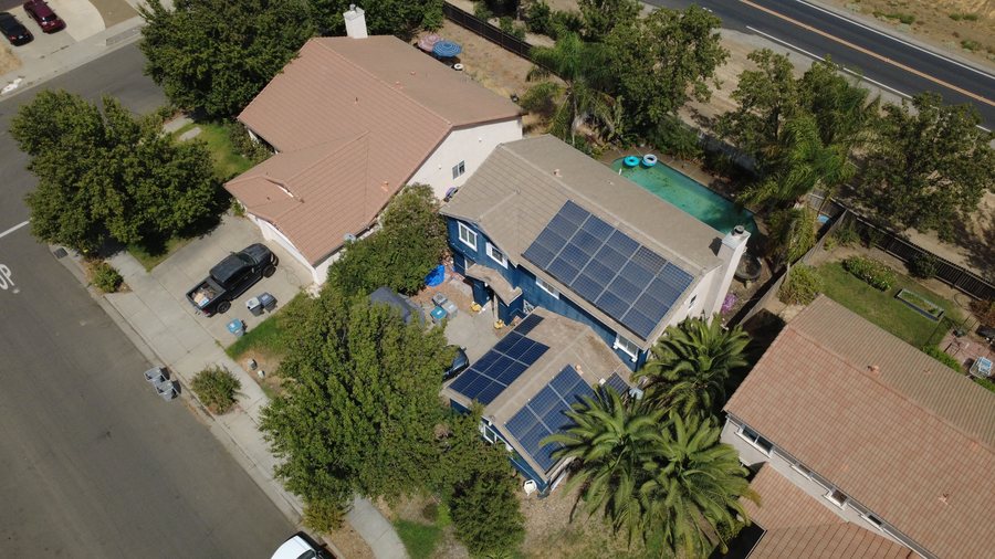 Real Estate
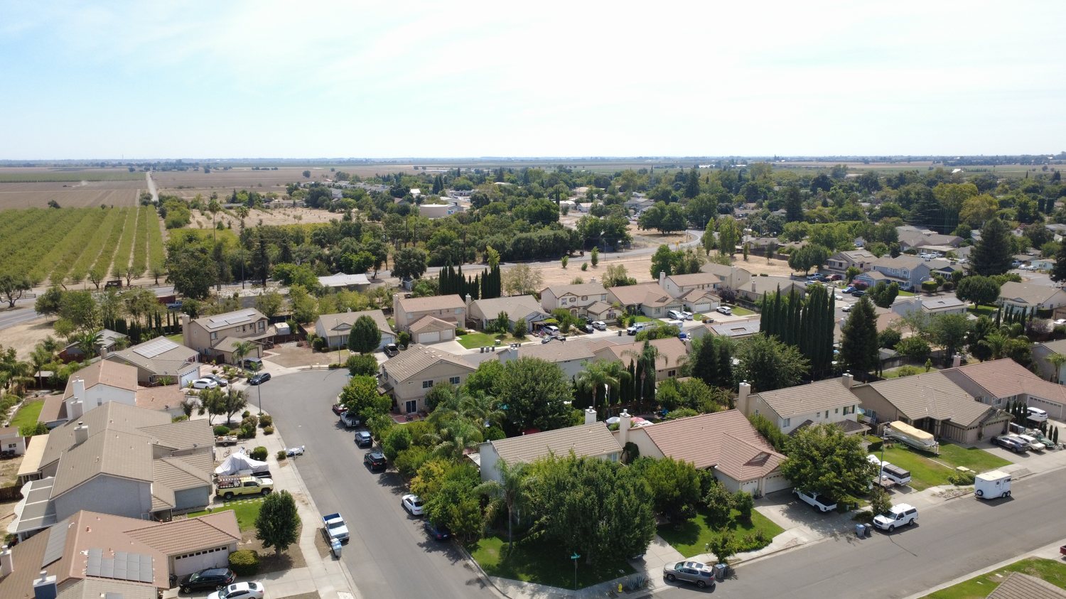
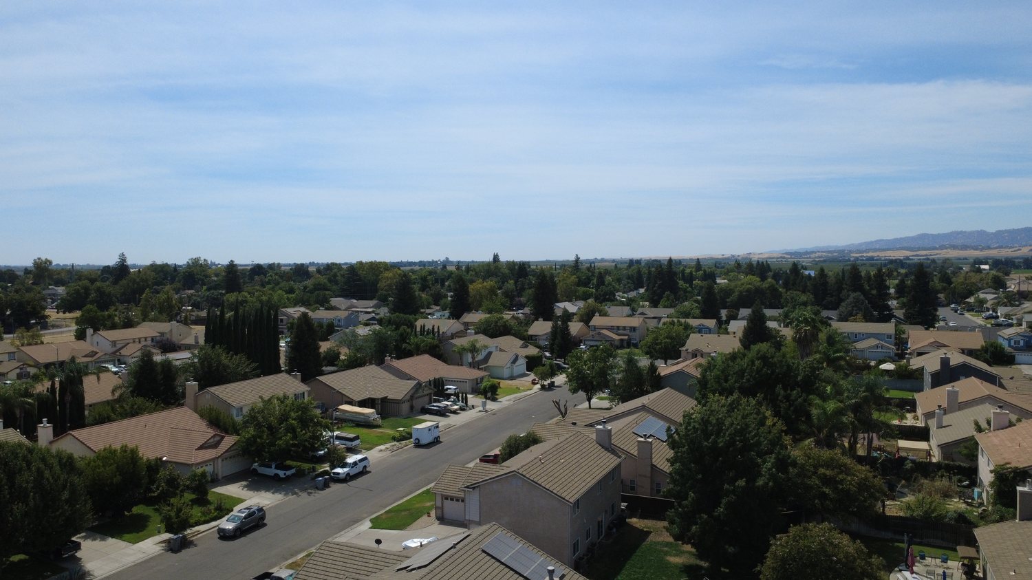
Listing photos and full-lot overviews that show a property and how it sits on the land around it.
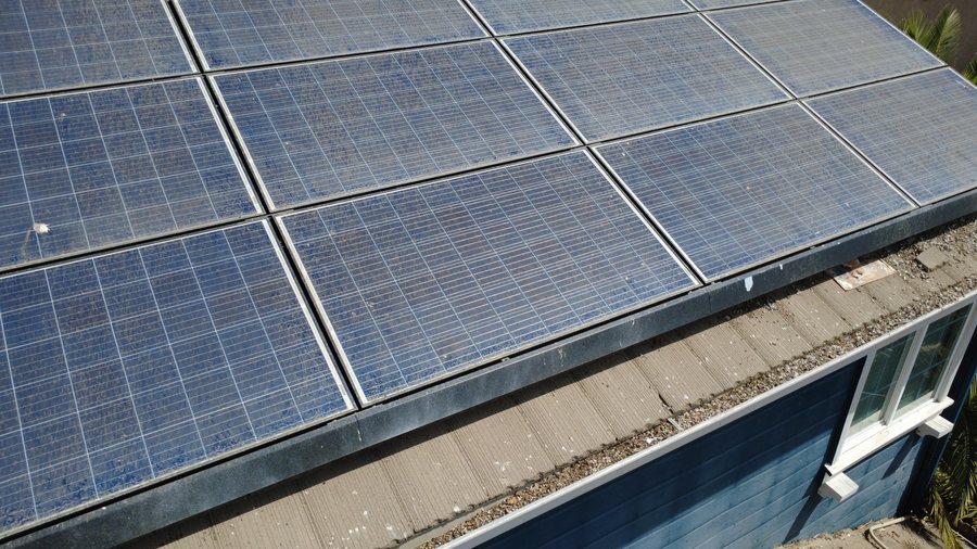 Inspection
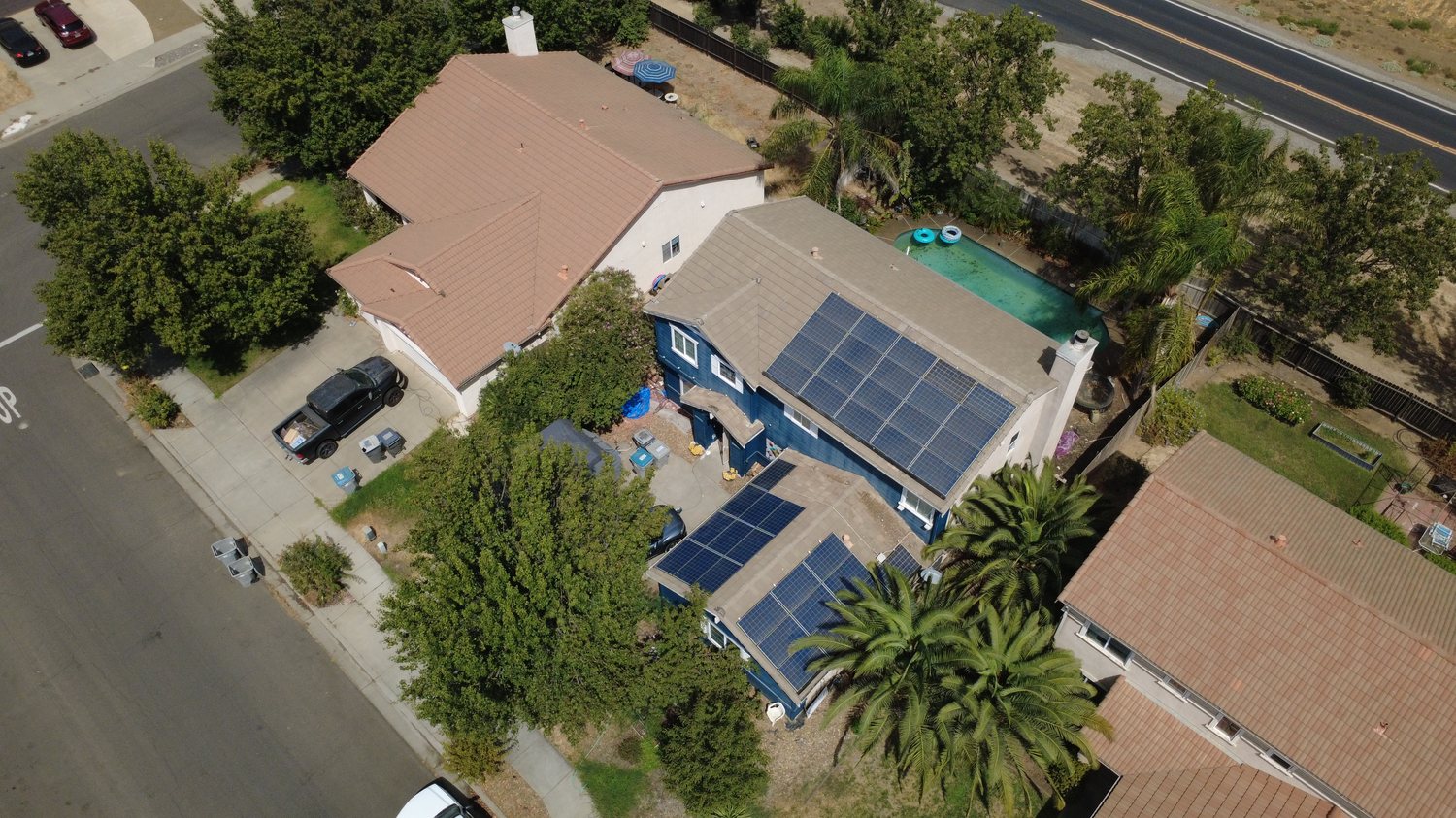
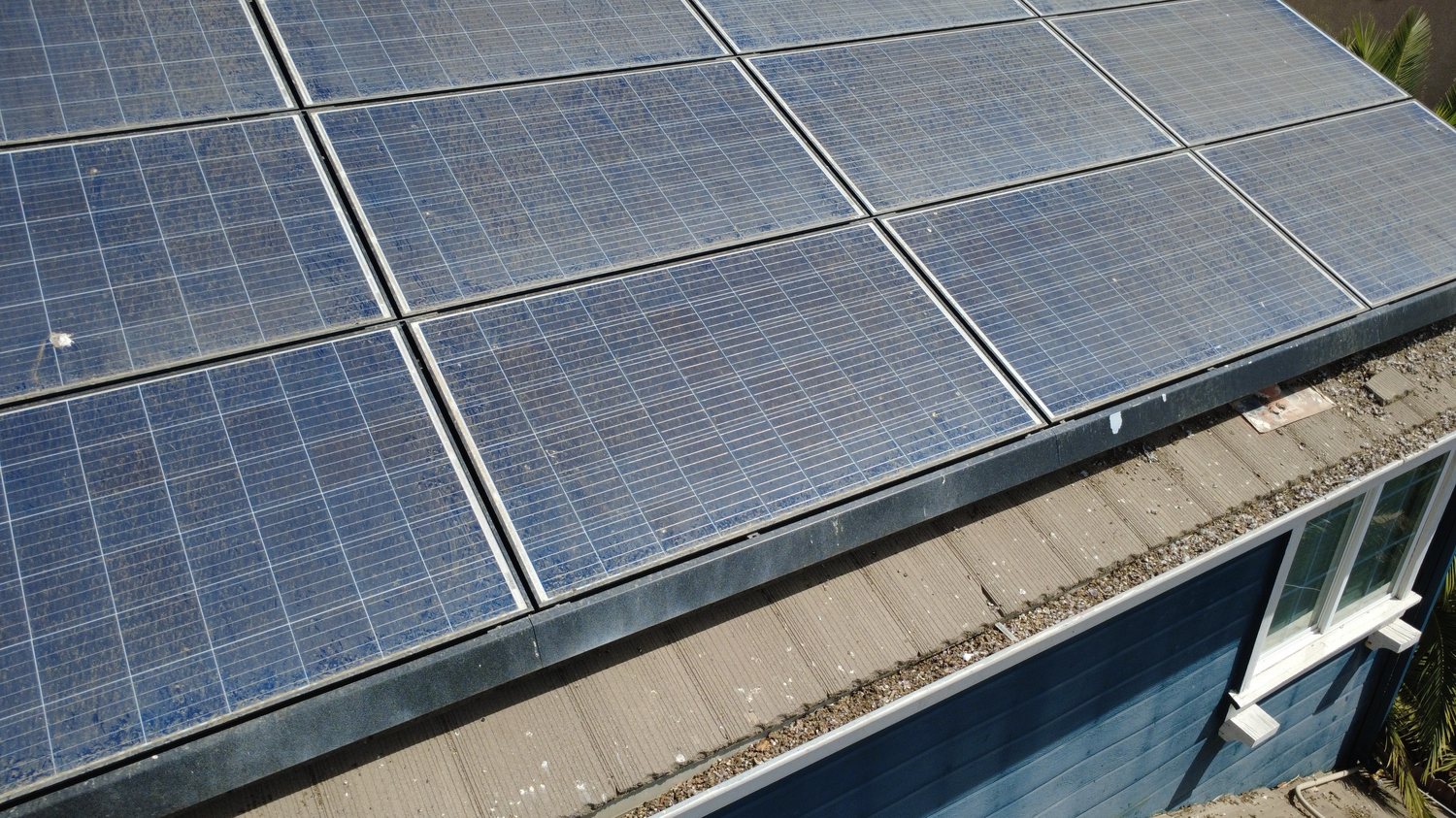
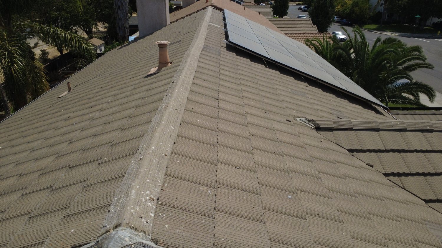
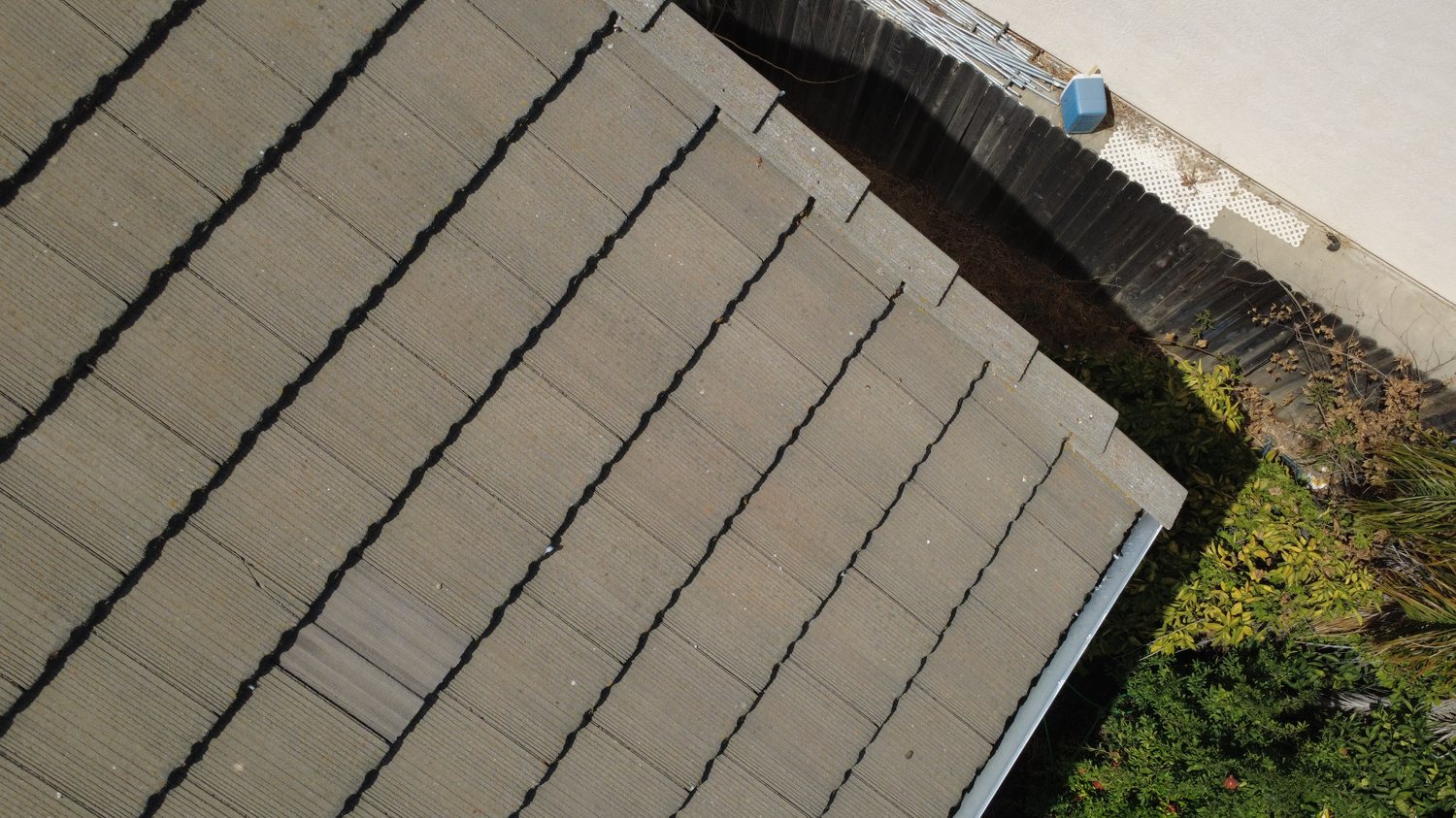
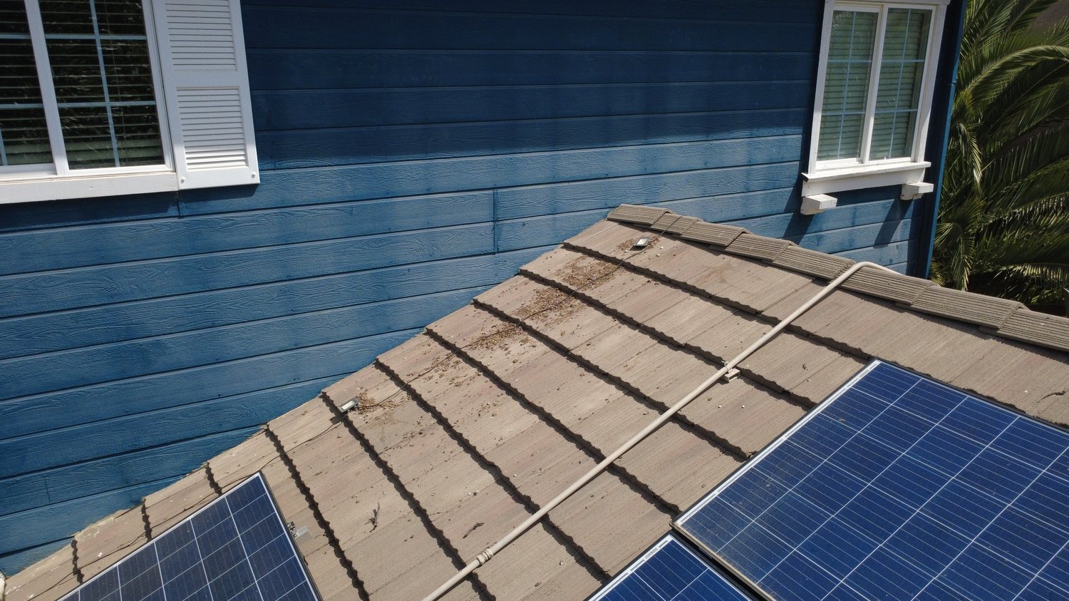
Close, safe looks at roofs, panels, and high structures — no ladder, no risk to anyone.
 Mapping
Stitched overhead imagery for planning, permits, and keeping a clear record of your ground.
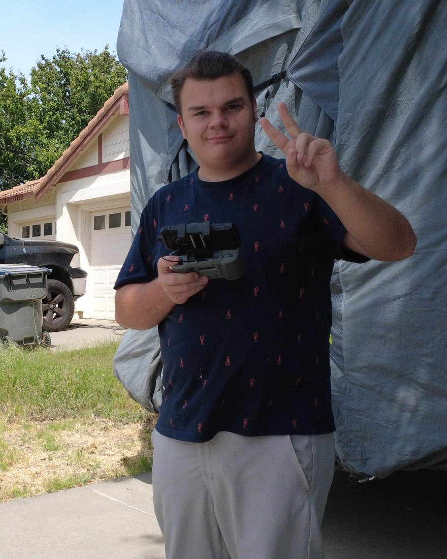 Jackson Hall · PIC
Capay Valley Aerial is a one-person shop run by Jackson Hall — an FAA Part 107–certified remote pilot based right here in Esparto.
I fly this valley the way someone who knows the ground does: where the evening light falls on the western hills, which roads make a clean launch, and what a grower or an agent actually needs to see. You get a person who picks up the phone, not a booking portal three counties away.
Every flight is run legal and by the book — Part 107 certified, aircraft registered with the FAA, and airspace checked before every launch.
Tell me about your vineyard, your property, or your listing, and I'll come back with what a flight would look like and what it costs. No obligation.